State Park
Rio Camuy Cave Park
Camuy
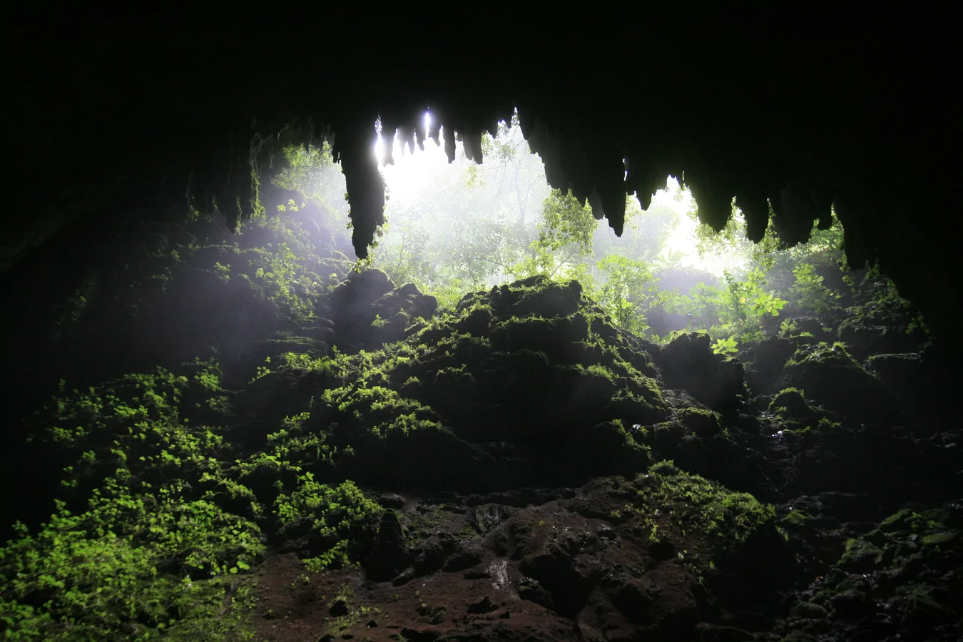
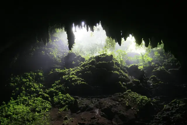
Rio Camuy Cave Park contains one of the largest cave systems in the Western Hemisphere, formed by the underground network of the Río Camuy, the world's first largest subterranean river. The park spans 10.8 km² of karst limestone formations across the municipalities of Camuy, Hatillo, and Lares. The main cave, Cueva Clara, along with other cave systems, offers a unique geological and archaeological experience: evidence of pre-Columbian exploration by the Taíno people has been documented at the site. The park was formally discovered in 1958, first documented in 1973, and designated a national park in 1987.
- Operator
- Compañía de Parques Nacionales de Puerto Rico
- Address
- PR-129 KM 18.9, Camuy, PR
- Phone
- (787) 898-3136
Waymarks
View details
One of Puerto Rico's largest karst sinkholes, offering views of the subterranean river running through its floor.
View details
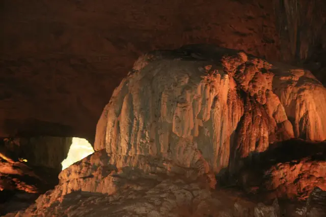
The park's main cave, open for guided walking tours featuring impressive stalactite and stalagmite formations.
View details
A karst sinkhole where branches of the Río Camuy underground system converge.
Photos
Trails in this area
No trails listed in this area yet.