Trail Map
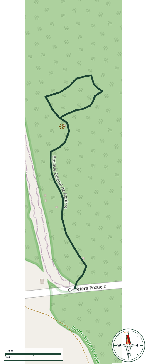
Aguirre State Forest · Guayama
Safety Warning: Trail information comes from OpenStreetMap and may be incomplete or outdated. Verify conditions before heading out.
Find safety and preparation guides by the Council at: veredaspr.org/en/safety/
| Difficulty | Moderate | Distance | 0.9 km |
|---|---|---|---|
| Elevation gain | 3 m | Elevation loss | 3 m |
| Min elevation | 2 m | Max elevation | 5 m |
| Surface | dirt | Loop trail | No |
| Status | Unknown | Access | Public |
| Trailhead | 17.93994, -66.17203 | ||
The main hiking route within the Aguirre State Forest in Guayama offers an immersive trek through one of Puerto Rico's most vital coastal ecosystems. This out-and-back trail spans approximately 1.1 miles (1.8 km) round-trip and features a flat, sea-level topography with minimal elevation change. The path cuts directly through a dense mangrove forest and tropical estuary bordering the Jobos Bay National Estuarine Research Reserve, utilizing a combination of packed dirt pathways and wooden boardwalk structures.
GPX track download available at: veredaspr.org/gpx/bosque-estatal-de-aguirre.gpx
VeredasPR is a free resource sponsored by the Puerto Rico Council of Scouting America to promote safe and responsible hiking.
Your contribution funds camp maintenance, youth outdoor programs, and community conservation projects across the island.