Trail Map
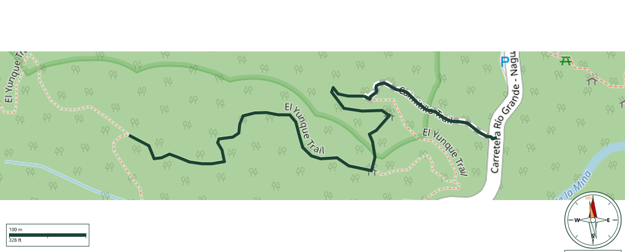
El Yunque National Forest · Río Grande
Safety Warning: Trail information comes from OpenStreetMap and may be incomplete or outdated. Verify conditions before heading out.
Find safety and preparation guides by the Council at: veredaspr.org/en/safety/
| Difficulty | Moderate | Distance | 1.1 km |
|---|---|---|---|
| Elevation gain | 84 m | Elevation loss | 0 m |
| Min elevation | 655 m | Max elevation | 739 m |
| Surface | — | Loop trail | No |
| Status | Unknown | Access | Public |
| Trailhead | 18.30262, -65.78355 | ||
Caimitillo Trail begins near the Sierra Palm Visitor Center, at PR-191 km 12.1. The trail starts with concrete stairs and continues with wood-supported steps carved into the rocky surface, passing through giant tree ferns, sierra palms, and Caimitillo Verde trees. It serves as the primary access route to El Yunque Peak, connecting to El Yunque Trail. The trail is currently closed while decommissioning and removal of bathrooms, septic tanks, and two picnic areas is completed, with a temporary alternate route available via Baño Grande in the Palo Colorado area.
GPX track download available at: veredaspr.org/gpx/caimitillo-trail.gpx
VeredasPR is a free resource sponsored by the Puerto Rico Council of Scouting America to promote safe and responsible hiking.
Your contribution funds camp maintenance, youth outdoor programs, and community conservation projects across the island.