Description
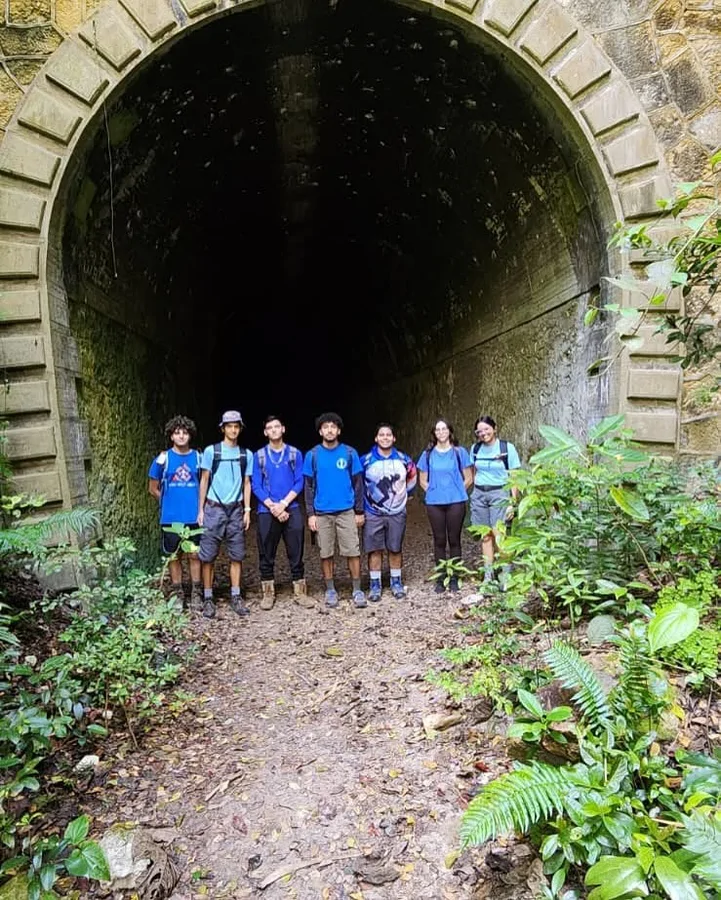
Route to the Guajataca Tunnel, a railway engineering feat built in 1906 by the American Railroad Company of Puerto Rico as part of the line connecting San Juan to Ponce. The tunnel cuts through the Guajataca River canyon over 46 meters, with a sharp interior curve that plunges it into complete darkness. Alongside it, a steel viaduct stretches 171 meters and stands 40 meters above the river, completing one of the most dramatic crossings of the old coastal railway. When the circumferential railroad closed in 1957, the structure fell out of use and was declared a Historical Monument in 2000.
The trailhead starts from Highway PR-2, km 104.3, in Quebradillas. The trail follows the river through a shaded dirt-path forest for about 900 meters to the tunnel entrance — a relaxed 20-minute walk. The full out-and-back route covers 2.3 km and can be completed in under an hour. On weekends the area draws artisan vendors, food kiosks, and family activities. There is no entrance fee.
Map
Elevation profile
Last verified: Not yet verified by a maintainer
Source: OpenStreetMap · Last edited on OSM: July 16, 2026
Photos