Trail Map
Guajataka Scout Reservation · San Sebastián
Safety Warning: Trail information comes from OpenStreetMap and may be incomplete or outdated. Verify conditions before heading out.
Find safety and preparation guides by the Council at: veredaspr.org/en/safety/
| Difficulty | Moderate | Distance | 4.9 km |
|---|---|---|---|
| Elevation gain | 71 m | Elevation loss | 73 m |
| Min elevation | 204 m | Max elevation | 230 m |
| Surface | — | Loop trail | No |
| Status | Unknown | Access | Public |
| Trailhead | 18.36906, -66.91789 | ||
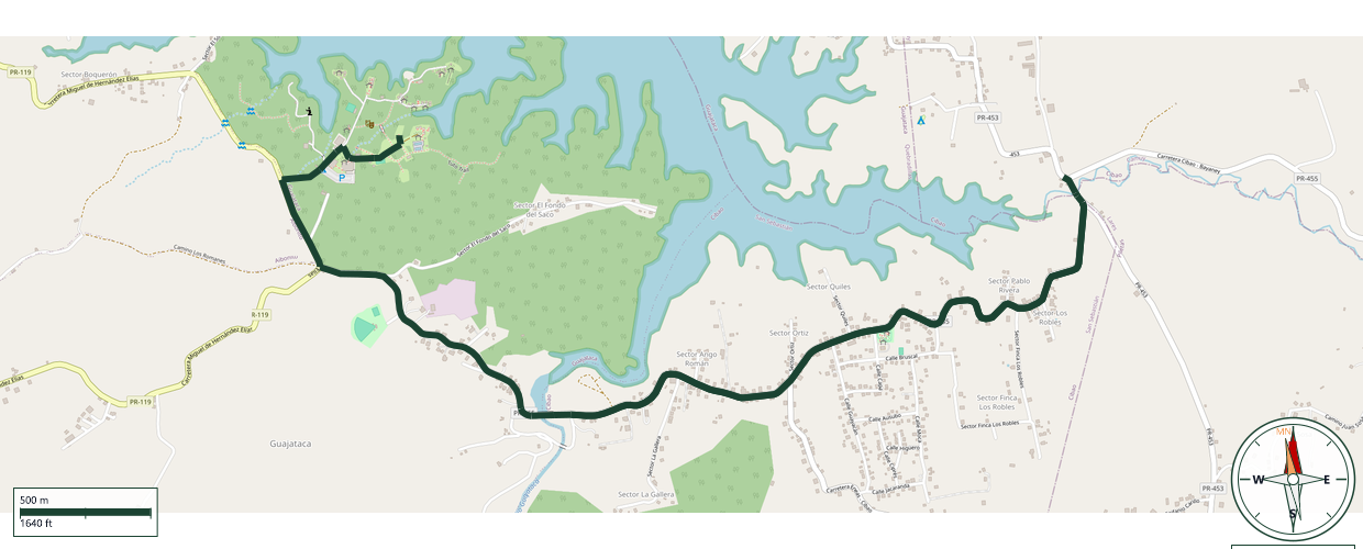
Ready for a hike with a taste of history? This long trek leaves camp property at Guajataka Scout Reservation and follows the shores of Lake Guajataca all the way to the site where Central Sóller once stood. Founded in 1910 by Mallorcan immigrant Antonio Marqués Arbona (and named after his hometown of Sóller, Mallorca), this sugar mill crushed cane for over half a century before shutting down in 1968. Its molasses even helped launch the famous Palo Viejo rum. Today, only the old company store and a mysterious round cement structure -likely an old water tank- remain as quiet witnesses to those days of steam, sugar, and hard work. It's a long route, but packed with Puerto Rican history for Scouts who make it to the end.
GPX track download available at: veredaspr.org/gpx/caminata-la-soller.gpx
VeredasPR is a free resource sponsored by the Puerto Rico Council of Scouting America to promote safe and responsible hiking.
Your contribution funds camp maintenance, youth outdoor programs, and community conservation projects across the island.