Trail Map
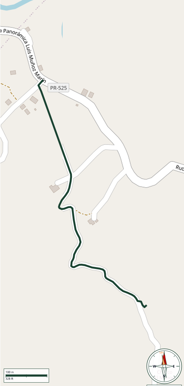
Adjuntas
Safety Warning: Trail information comes from OpenStreetMap and may be incomplete or outdated. Verify conditions before heading out.
Find safety and preparation guides by the Council at: veredaspr.org/en/safety/
| Difficulty | Moderate | Distance | 0.7 km |
|---|---|---|---|
| Elevation gain | 70 m | Elevation loss | 33 m |
| Min elevation | 599 m | Max elevation | 640 m |
| Surface | — | Loop trail | No |
| Status | Unknown | Access | Public |
| Trailhead | 18.17131, -66.79183 | ||
Camino al Charco El Mangó is a short access route in Adjuntas branching off the Ruta Panorámica (PR-525) via a badly deteriorated dirt road, with deep craters filled with water and mud; a 4x4 vehicle is recommended to drive it. On foot, it's about a 10-minute walk on relatively flat ground through coffee and plantain farmland to a V-shaped fork, with a short but slippery, steep final descent to the pool. Charco El Mangó is a clear, cold natural pool fed by a small waterfall, ringed by flowering trees — including the maga, Puerto Rico's national flower — with a rope swing for jumping in. Safety tips: avoid the pool after recent rain or if flash flooding is possible, since river levels and current can rise quickly; never jump in without first checking depth and the streambed; the water is notably cold, so ease in gradually; and wear footwear with good traction on the wet rocks.
GPX track download available at: veredaspr.org/gpx/camino-al-charco-el-mango.gpx
VeredasPR is a free resource sponsored by the Puerto Rico Council of Scouting America to promote safe and responsible hiking.
Your contribution funds camp maintenance, youth outdoor programs, and community conservation projects across the island.