Trail information comes from OpenStreetMap and may be incomplete or outdated. Verify conditions before heading out. Safety tips →
Difficulty Moderate
Distance 2.0 km
Elevation gain 226 m
Elevation loss 116 m
Loop trail No
Description
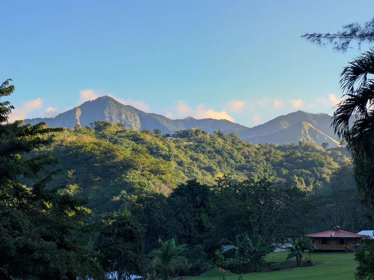
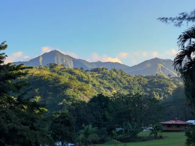
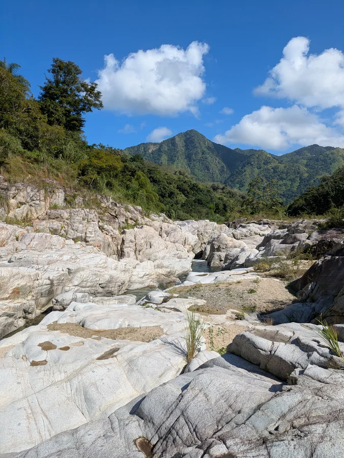
About a 2-kilometer, one-way trail climbing toward Cerro Morales, the highest point in the municipality of Utuado, on the border with Jayuya, at an elevation of 980 meters (3,214 feet). The trail gains roughly 226 meters of elevation gradually, with dirt sections that can be muddy and steep, so footwear with good traction is recommended. Access crosses private land along part of the route; the landowner has at times charged a small parking fee. As a prominent landmark visible from many points around Utuado, the upper stretch of the trail offers panoramic views of the surrounding Cordillera Central.
Map
Elevation profile
Photos
Last verified: Not yet verified by a maintainer
Source: OpenStreetMap · Last edited on OSM: July 30, 2026