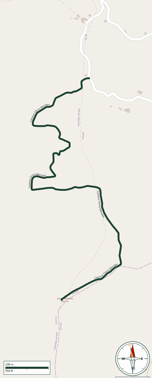
Trail Map
Utuado
Safety Warning: Trail information comes from OpenStreetMap and may be incomplete or outdated. Verify conditions before heading out.
Find safety and preparation guides by the Council at: veredaspr.org/en/safety/
| Difficulty | Moderate | Distance | 2.0 km |
|---|---|---|---|
| Elevation gain | 226 m | Elevation loss | 116 m |
| Min elevation | 790 m | Max elevation | 936 m |
| Surface | — | Loop trail | No |
| Status | Unknown | Access | Private |
| Trailhead | 18.25653, -66.62370 | ||
About a 2-kilometer, one-way trail climbing toward Cerro Morales, the highest point in the municipality of Utuado, on the border with Jayuya, at an elevation of 980 meters (3,214 feet). The trail gains roughly 226 meters of elevation gradually, with dirt sections that can be muddy and steep, so footwear with good traction is recommended. Access crosses private land along part of the route; the landowner has at times charged a small parking fee. As a prominent landmark visible from many points around Utuado, the upper stretch of the trail offers panoramic views of the surrounding Cordillera Central.
GPX track download available at: veredaspr.org/gpx/camino-cerro-morales.gpx
VeredasPR is a free resource sponsored by the Puerto Rico Council of Scouting America to promote safe and responsible hiking.
Your contribution funds camp maintenance, youth outdoor programs, and community conservation projects across the island.