Trail Map
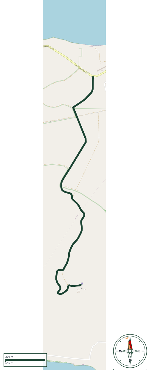
Vieques National Wildlife Refuge - West · Vieques
Safety Warning: Trail information comes from OpenStreetMap and may be incomplete or outdated. Verify conditions before heading out.
Find safety and preparation guides by the Council at: veredaspr.org/en/safety/
| Difficulty | Hard | Distance | 3.4 km |
|---|---|---|---|
| Elevation gain | 287 m | Elevation loss | 11 m |
| Min elevation | 11 m | Max elevation | 287 m |
| Surface | — | Loop trail | No |
| Status | Unknown | Access | Public |
| Trailhead | 18.11596, -65.54992 | ||
Monte Pirata is the highest point on the island of Vieques, rising approximately 301 meters (987 feet) above sea level within the Vieques National Wildlife Refuge. The summit features a prominent helipad alongside an observation platform, providing expansive 360-degree views of the surrounding Caribbean coastline. Hikers utilizing this route should note several key safety considerations: the primary access path consists of a highly steep, paved incline that requires significant cardiovascular endurance and adequate hydration. Additionally, because parts of the western refuge have limited cell phone reception, it is highly recommended to hike with a partner, secure any personal valuables, and explicitly check the current entrance gates and accessibility status with refuge personnel before beginning the ascent.
GPX track download available at: veredaspr.org/gpx/camino-monte-pirata.gpx
VeredasPR is a free resource sponsored by the Puerto Rico Council of Scouting America to promote safe and responsible hiking.
Your contribution funds camp maintenance, youth outdoor programs, and community conservation projects across the island.