Trail Map
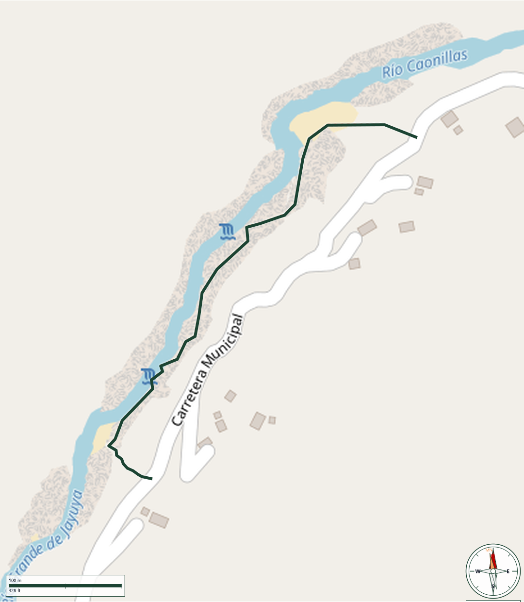
Utuado
Safety Warning: Trail information comes from OpenStreetMap and may be incomplete or outdated. Verify conditions before heading out.
Find safety and preparation guides by the Council at: veredaspr.org/en/safety/
| Difficulty | Moderate | Distance | 0.5 km |
|---|---|---|---|
| Elevation gain | 0 m | Elevation loss | 14 m |
| Min elevation | 312 m | Max elevation | 326 m |
| Surface | — | Loop trail | No |
| Status | Unknown | Access | Public |
| Trailhead | 18.22527, -66.64115 | ||
Informal trail, not officially maintained. The route follows the bed of the Río Caonillas in Utuado, moving in and out of the water through a canyon carved into white limestone, with walls up to 8 meters (25 ft) tall in places. The hike requires walking and scrambling over large, often slippery rocks and boulders — it is not suitable for anyone unable to climb rocks safely. Taíno petroglyphs carved into the rock can be seen along the canyon.The river can rise suddenly and significantly after rain, even if it isn't raining at the access point, reaching levels several meters above normal. Wear shoes with good grip, avoid the area entirely after recent or forecast rain, and do not swim in the canyon sections — rescue is difficult between the vertical walls.
GPX track download available at: veredaspr.org/gpx/canon-blanco.gpx
VeredasPR is a free resource sponsored by the Puerto Rico Council of Scouting America to promote safe and responsible hiking.
Your contribution funds camp maintenance, youth outdoor programs, and community conservation projects across the island.