Trail Map
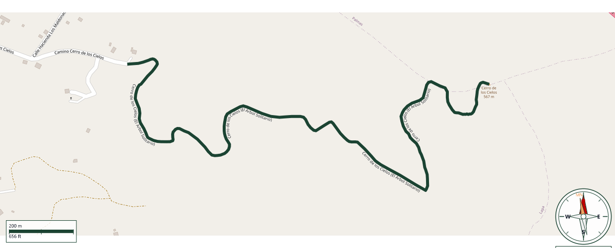
Salinas
Safety Warning: Trail information comes from OpenStreetMap and may be incomplete or outdated. Verify conditions before heading out.
Find safety and preparation guides by the Council at: veredaspr.org/en/safety/
| Difficulty | Moderate | Distance | 2.3 km |
|---|---|---|---|
| Elevation gain | 487 m | Elevation loss | 135 m |
| Min elevation | 176 m | Max elevation | 528 m |
| Surface | — | Loop trail | No |
| Status | Unknown | Access | Public |
| Trailhead | 18.05524, -66.23600 | ||
The trail known as El Árbol Solitario ("The Lone Tree") climbs Cerro de los Cielos, with an ascent of about 90 minutes and nearly 2,000 feet of elevation gain, leading to a panoramic view of the mountains and the Caribbean Sea. The trail's name comes from a mango tree at the summit, visible from the highway, with swings tied to its branches. Accessing the trail from the emergency shoulder or from PR-52 is illegal and dangerous. The official trailhead is at the parking area in Hacienda Los Maldonado, accessible via PR-1 toward Cayey.
GPX track download available at: veredaspr.org/gpx/cerro-de-los-cielos-el-arbol-solitario.gpx
VeredasPR is a free resource sponsored by the Puerto Rico Council of Scouting America to promote safe and responsible hiking.
Your contribution funds camp maintenance, youth outdoor programs, and community conservation projects across the island.