Trail Map
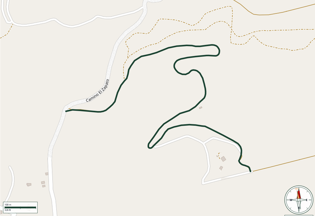
Cabo Rojo
Safety Warning: Trail information comes from OpenStreetMap and may be incomplete or outdated. Verify conditions before heading out.
Find safety and preparation guides by the Council at: veredaspr.org/en/safety/
| Difficulty | Moderate | Distance | 1.7 km |
|---|---|---|---|
| Elevation gain | 121 m | Elevation loss | 5 m |
| Min elevation | 83 m | Max elevation | 199 m |
| Surface | — | Loop trail | No |
| Status | Unknown | Access | Public |
| Trailhead | 17.98848, -67.13392 | ||
El Conuco-Monte del Orégano is a moderate 1-mile (1.7 km) one-way route that climbs about 400 feet (121 m) up Monte del Orégano, part of the Sierra Bermeja range in Cabo Rojo's Llanos Costa barrio. The trail crosses the reddish, iron-rich serpentine soil that characterizes this ancient volcanic formation, passing through subtropical dry scrub typical of southwestern Puerto Rico. The summit offers sweeping views over southern Cabo Rojo. Because shade is limited and the region is notably hot and dry, hikers should carry plenty of water, sun protection, and wear footwear suited for uneven terrain.
GPX track download available at: veredaspr.org/gpx/el-conuco-monte-del-oregano.gpx
VeredasPR is a free resource sponsored by the Puerto Rico Council of Scouting America to promote safe and responsible hiking.
Your contribution funds camp maintenance, youth outdoor programs, and community conservation projects across the island.