Trail information comes from OpenStreetMap and may be incomplete or outdated. Verify conditions before heading out. Safety tips →
Difficulty Moderate
Distance 5.4 km
Elevation gain 359 m
Elevation loss 163 m
Surface ground
Loop trail No
Description
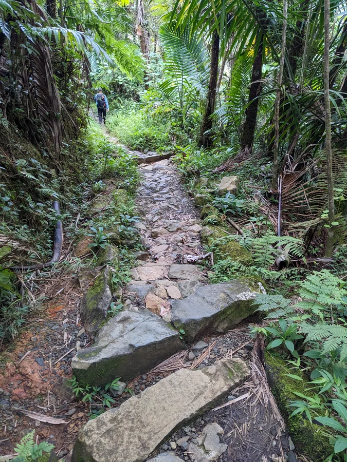
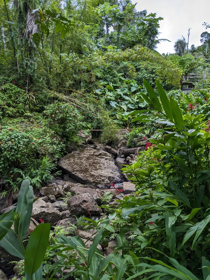
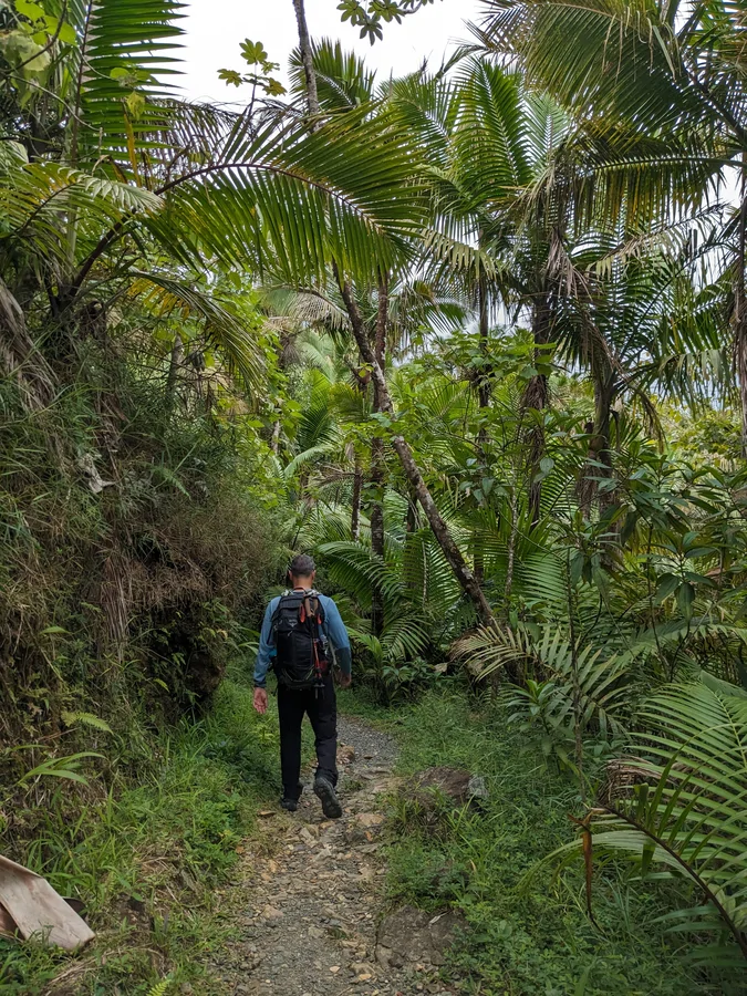
El Yunque Trail ascends to one of the forest's highest points at El Yunque Peak, accessed via the Caimitillo or Mt. Britton Spur trails. As elevation increases, vegetation transitions from Palo Colorado forest through sierra palms to the cooler, misty cloud forest at the summit. The trail surface is a composite of asphalt, gravel, and native stone, and can be muddy in places. A rain shelter is positioned midway through the first half. A challenging trail with 1,378 feet (420 m) of elevation gain over 2.6 miles (4.2 km).
Map
Elevation profile
Last verified: Not yet verified by a maintainer
Source: OpenStreetMap · Last edited on OSM: May 30, 2026
Photos