Trail Map
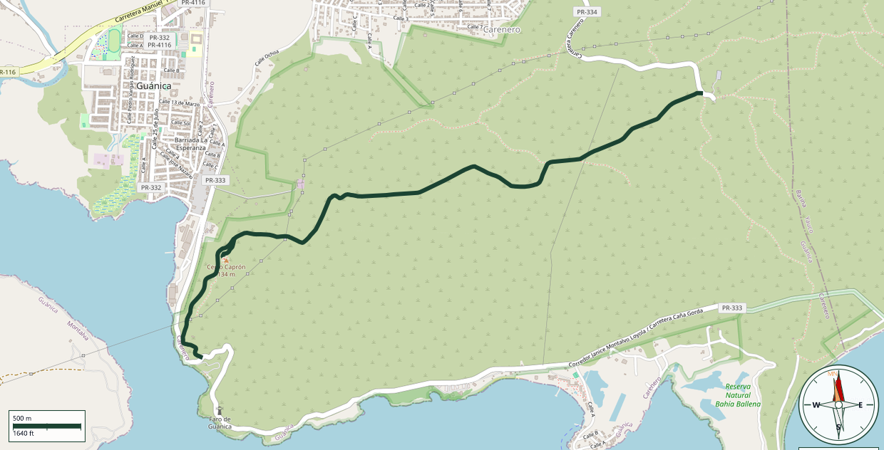
Guánica State Forest · Guánica
Safety Warning: Trail information comes from OpenStreetMap and may be incomplete or outdated. Verify conditions before heading out.
Find safety and preparation guides by the Council at: veredaspr.org/en/safety/
| Difficulty | Moderate | Distance | 6.1 km |
|---|---|---|---|
| Elevation gain | 165 m | Elevation loss | 218 m |
| Min elevation | 68 m | Max elevation | 176 m |
| Surface | ground | Loop trail | No |
| Status | Unknown | Access | Public |
| Trailhead | 17.97199, -66.86948 | ||
Trail within the Guánica State Forest that ascends to Fort Caprón, one of the last monuments left by the Spanish during their presence on the Island. The fort was initially built of wood and was later fortified with brick in 1898. After U.S. forces took control of Puerto Rico, the fort was named in honor of Captain Allyn K. Capron, an American military officer who died in Cuba during the Spanish-American War. The original structure deteriorated and fell into disuse. In 1930, the Civilian Conservation Corps constructed the stone structure that remains standing today. The trail crosses the rocky and arid terrain of the Guánica Dry Forest, recognized by UNESCO as a Biosphere Reserve. With little shade along the route, the trail offers an opportunity to appreciate the dry-forest landscape and the area's natural diversity. Fort Caprón also holds special significance for the people of Guánica, as its image appears at the center of the Guánica flag, between its blue and yellow stripes.
GPX track download available at: veredaspr.org/gpx/fuerte.gpx
VeredasPR is a free resource sponsored by the Puerto Rico Council of Scouting America to promote safe and responsible hiking.
Your contribution funds camp maintenance, youth outdoor programs, and community conservation projects across the island.