Trail Map
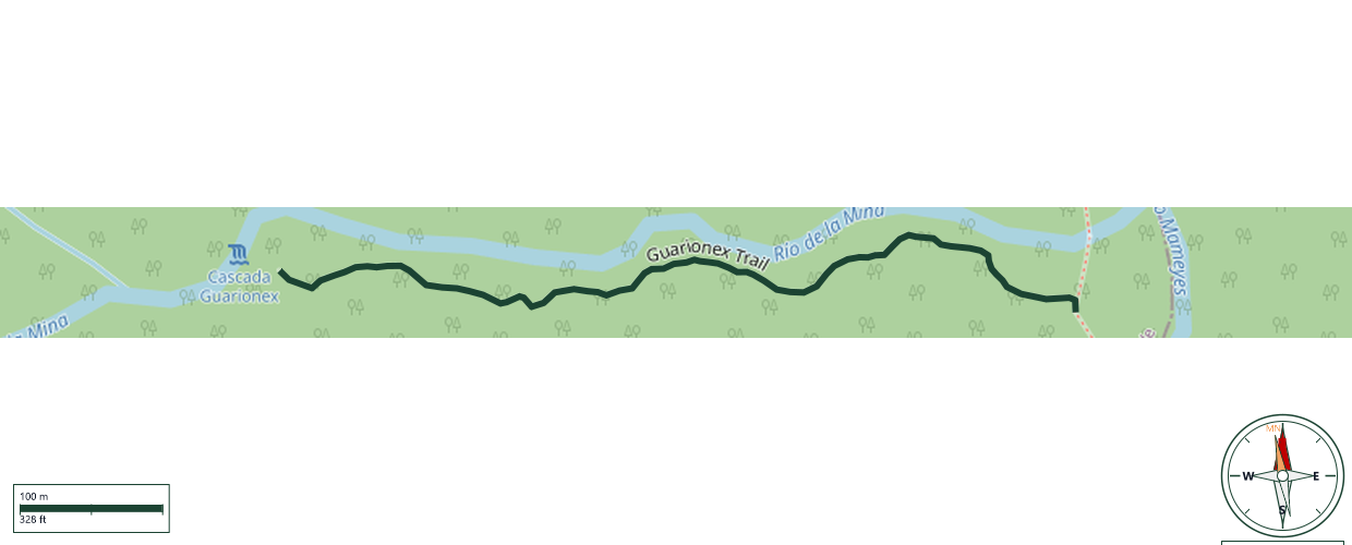
El Yunque National Forest · Río Grande
Safety Warning: Trail information comes from OpenStreetMap and may be incomplete or outdated. Verify conditions before heading out.
Find safety and preparation guides by the Council at: veredaspr.org/en/safety/
| Difficulty | Hard | Distance | 0.6 km |
|---|---|---|---|
| Elevation gain | 68 m | Elevation loss | 0 m |
| Min elevation | 264 m | Max elevation | 332 m |
| Surface | — | Loop trail | No |
| Status | Unknown | Access | Public |
| Trailhead | 18.30723, -65.76227 | ||
The trail to Cascada Guarionex is an unofficial, unmaintained route located within El Yunque National Forest in Río Grande, Puerto Rico. Characterized by its remote and rugged terrain, this out-and-back hike demands advanced navigation skills and an excellent level of physical fitness. The journey begins along the established La Coca Trail, continuing past the official "end of trail" marker. From there, hikers must navigate off-trail by following the river upstream, relying on sporadic ribbon markers left by previous hikers. The final descent to the waterfall is exceptionally steep, muddy, and requires careful scrambling over slick rocks and dense vegetation. It is recommended. It is recommended to make this route with a certified guide or experts in river exploration to avoid accidents.
GPX track download available at: veredaspr.org/gpx/guarionex-trail.gpx
VeredasPR is a free resource sponsored by the Puerto Rico Council of Scouting America to promote safe and responsible hiking.
Your contribution funds camp maintenance, youth outdoor programs, and community conservation projects across the island.