Trail information comes from OpenStreetMap and may be incomplete or outdated. Verify conditions before heading out. Safety tips →
Difficulty Moderate
Distance 1.9 km
Elevation gain 98 m
Elevation loss 71 m
Loop trail No
Description
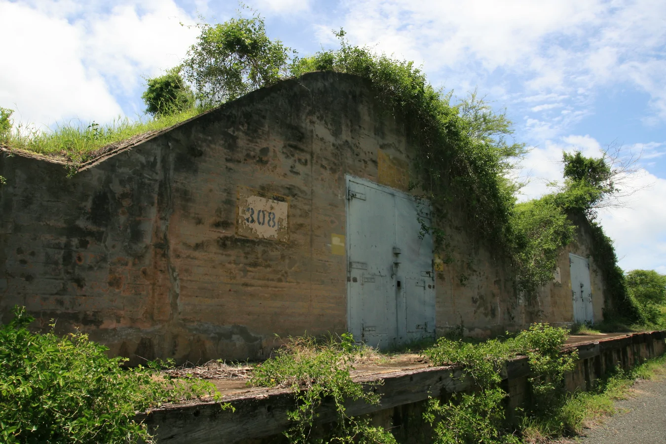
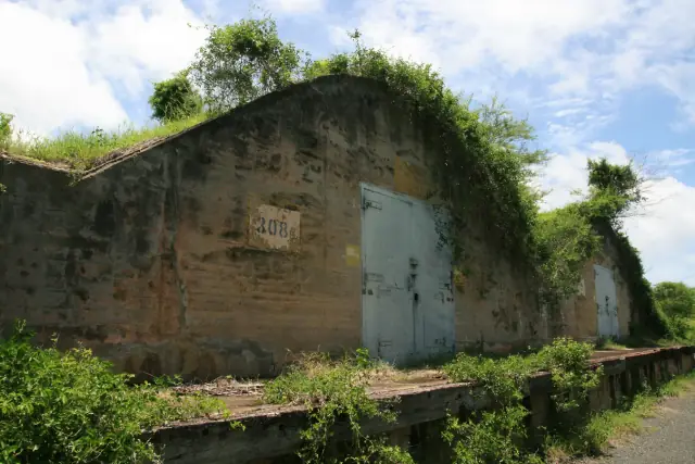
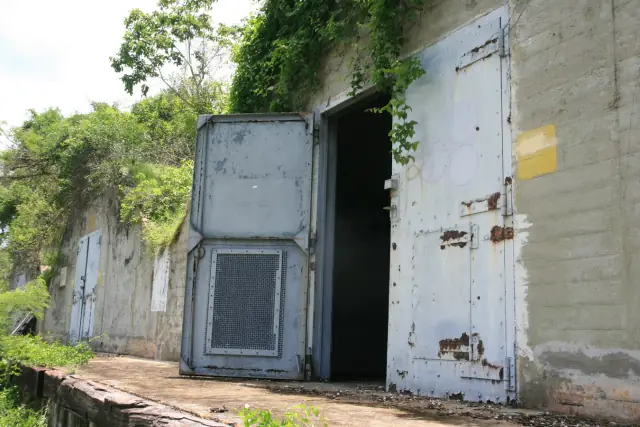
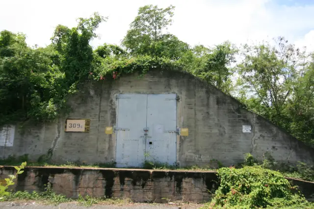
A history-and-nature route through Vieques' former U.S. Navy ammunition storage grounds, on the island's western side. The loop winds past dozens of abandoned concrete bunkers built during World War II and used through the Cold War era, now overtaken by grazing wild horses and quiet forest. Many structures are locked, but their weathered facades, faded murals, and echoing interiors offer a striking look at the island's military past.
Map
Elevation profile
Photos

Last verified: Not yet verified by a maintainer