Trail Map
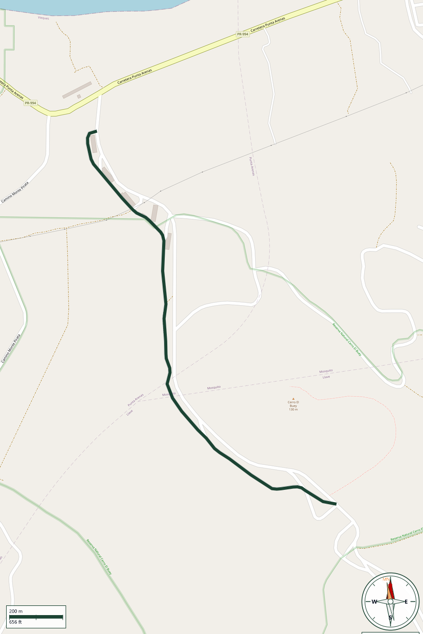
Cerro El Buey Nature Reserve · Vieques
Safety Warning: Trail information comes from OpenStreetMap and may be incomplete or outdated. Verify conditions before heading out.
Find safety and preparation guides by the Council at: veredaspr.org/en/safety/
| Difficulty | Moderate | Distance | 1.9 km |
|---|---|---|---|
| Elevation gain | 98 m | Elevation loss | 71 m |
| Min elevation | 11 m | Max elevation | 56 m |
| Surface | — | Loop trail | No |
| Status | Unknown | Access | Public |
| Trailhead | 18.11538, -65.54824 | ||
A history-and-nature route through Vieques' former U.S. Navy ammunition storage grounds, on the island's western side. The loop winds past dozens of abandoned concrete bunkers built during World War II and used through the Cold War era, now overtaken by grazing wild horses and quiet forest. Many structures are locked, but their weathered facades, faded murals, and echoing interiors offer a striking look at the island's military past.
GPX track download available at: veredaspr.org/gpx/hiking-through-the-military-bunkers.gpx
VeredasPR is a free resource sponsored by the Puerto Rico Council of Scouting America to promote safe and responsible hiking.
Your contribution funds camp maintenance, youth outdoor programs, and community conservation projects across the island.