Trail information comes from OpenStreetMap and may be incomplete or outdated. Verify conditions before heading out. Safety tips →
Difficulty Moderate
Distance 0.7 km
Elevation gain 54 m
Elevation loss 52 m
Loop trail No
Description
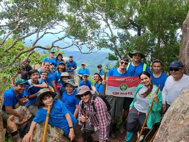
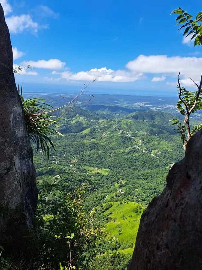
Pico Rodadero, at 873 meters (2,864 ft) above sea level, is the second-highest summit in Yauco and one of the most dramatic peaks in southwestern Puerto Rico. The trail climbs through slippery clay soil before reaching the rocky outcrop formations that give the peak its name, where a short scramble over boulders is required to reach the top. From the summit, views stretch across the Lajas Valley, Lake Luchetti, the southern coastal plain, and the Caribbean Sea. The mountain sits at the tri-point boundary of the Aguas Blancas, Duey, and Sierra Alta barrios, in territory historically used by the Taíno people. Despite being a short route, it is demanding — best suited for experienced hikers with sturdy, mud-grip footwear.
Map
Waymarks
Elevation profile
Photos
Last verified: Not yet verified by a maintainer
Source: OpenStreetMap · Last edited on OSM: July 21, 2026