Trail information comes from OpenStreetMap and may be incomplete or outdated. Verify conditions before heading out. Safety tips →
Difficulty Hard
Distance 1.7 km
Elevation gain 53 m
Elevation loss 77 m
Surface rocky
Loop trail No
Description
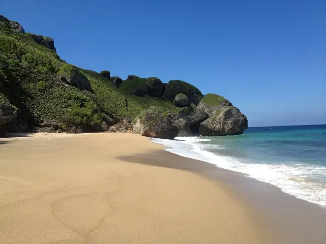
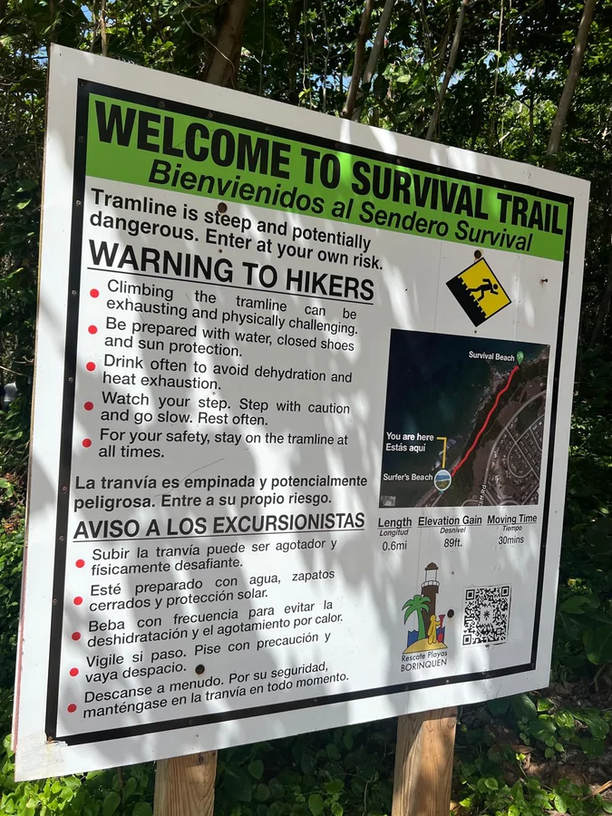
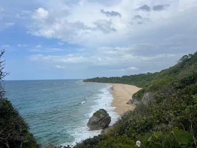
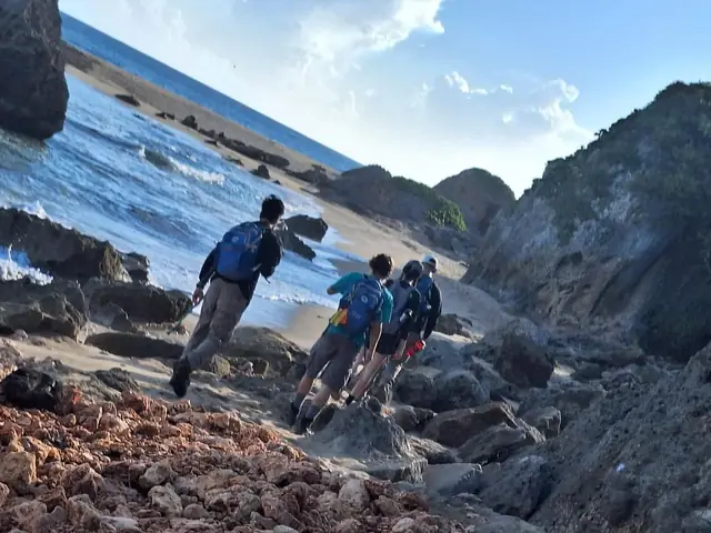
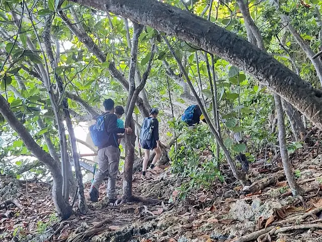
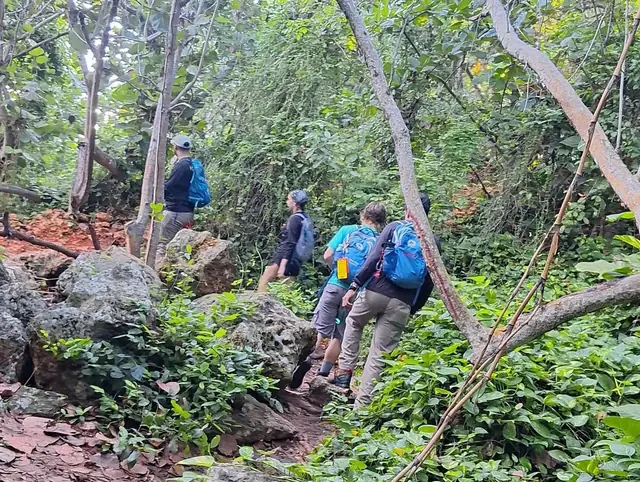
The Survival Beach Trail is one of Puerto Rico's most spectacular coastal hikes, located in Aguadilla within the natural corridor of the former General Ramey Air Force Base. The approximately 30-minute trail starts at Surfers Beach, follows an unpaved road, crosses a bridge, and winds through the "Sendero Trail Survival Beach" across wooded terrain with roots and uneven ground. Along the way hikers pass Table Top Beach, identified by two large rocks, before climbing the rock formations that lead to Survival Beach. The beach's name has several explanations: survival training exercises conducted by military personnel stationed at the base, the filming of a version of "Lord of the Flies" in 1961, or airmen who named local surf breaks by difficulty. The beach itself is a long stretch of sand with gigantic rock formations, caves accessible at low tide, and coastal vegetation including sea grapes. Waves can be strong and currents dangerous; swimmers should exercise caution. A full visit including hiking and exploration takes 2 to 3 hours. There are no bathrooms, food, or water available, so bring your own water, wear closed hiking shoes, and apply sunscreen. Not recommended for young children, elderly visitors, or those with limited mobility.
Map
Elevation profile
Last verified: Not yet verified by a maintainer
Source: OpenStreetMap · Last edited on OSM: July 18, 2026
Photos