Trail information comes from OpenStreetMap and may be incomplete or outdated. Verify conditions before heading out. Safety tips →
Difficulty Expert
Distance 2.0 km
Elevation gain 495 m
Elevation loss 0 m
Loop trail No
Description
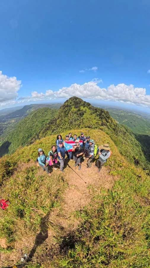
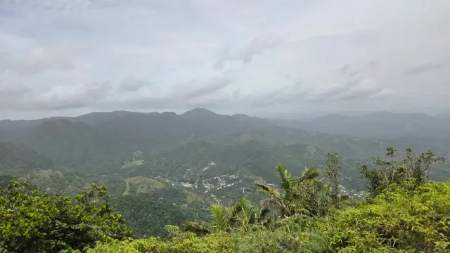
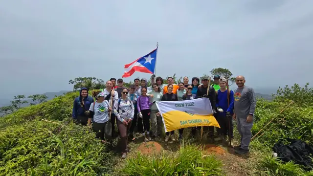
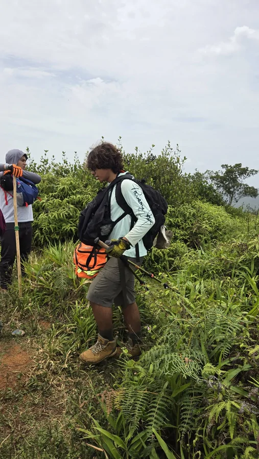
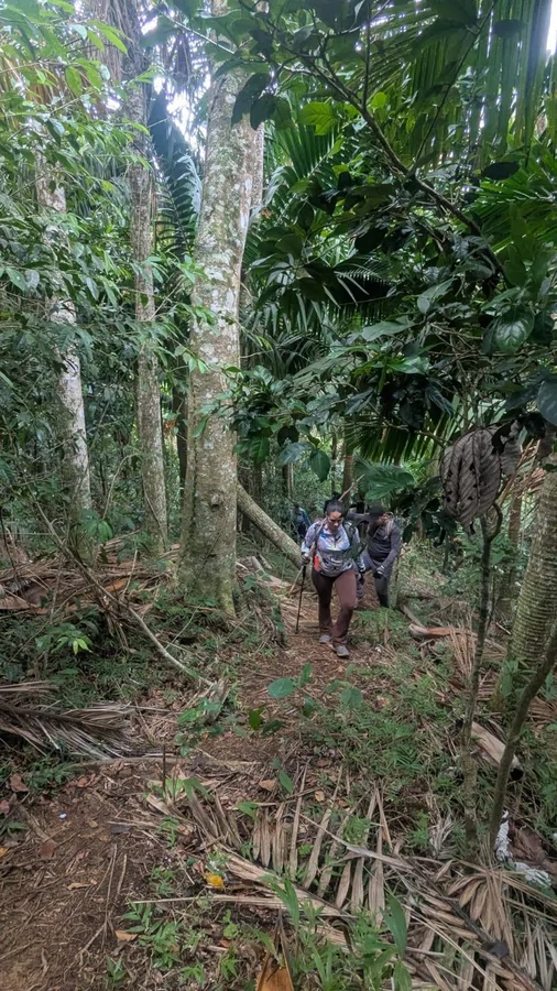
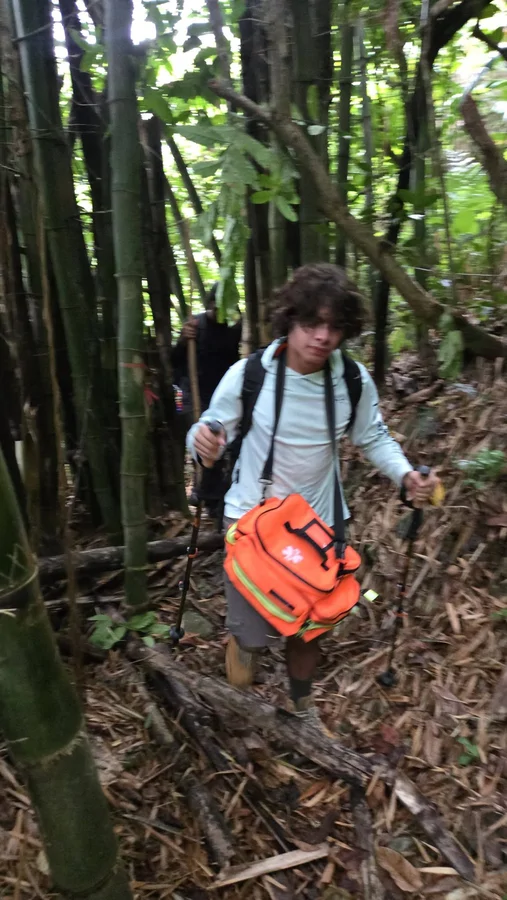
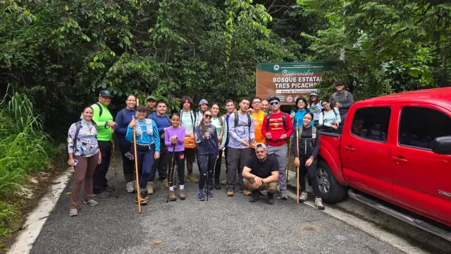
The Los Tres Picachos Trail is a strenuous, out-and-back route located within the Los Tres Picachos State Forest along the border of Jayuya and Ciales, Puerto Rico. Reaching an elevation of approximately 1,205 meters (3,953 feet), this technical mountain scramble features steep clay inclines ranging from 45 to over 60 degrees, dense tropical canopy, exposed roots, and boulders. Due to the difficulty of the upper sections, the trail requires navigating nearly vertical dirt walls using pre-installed fixed ropes. For a safe and successful hike, proper preparation is essential: hikers should wear gloves to prevent rope burns and cuts, use high-traction, deep-lugged boots for slick clay, and wear long pants and long sleeves to protect against dense undergrowth and insects. Additionally, the trail should never be attempted during or immediately after rainfall, as the steep sections become hazardous mudslides. Because the state forest is completely undeveloped, visitors must be entirely self-sufficient, carrying at least three liters of water per person, calorie-dense food, and packing out all waste.
Map
Waymarks
Elevation profile
Photos
Last verified: Not yet verified by a maintainer
Source: OpenStreetMap · Last edited on OSM: June 4, 2026