Trail Map
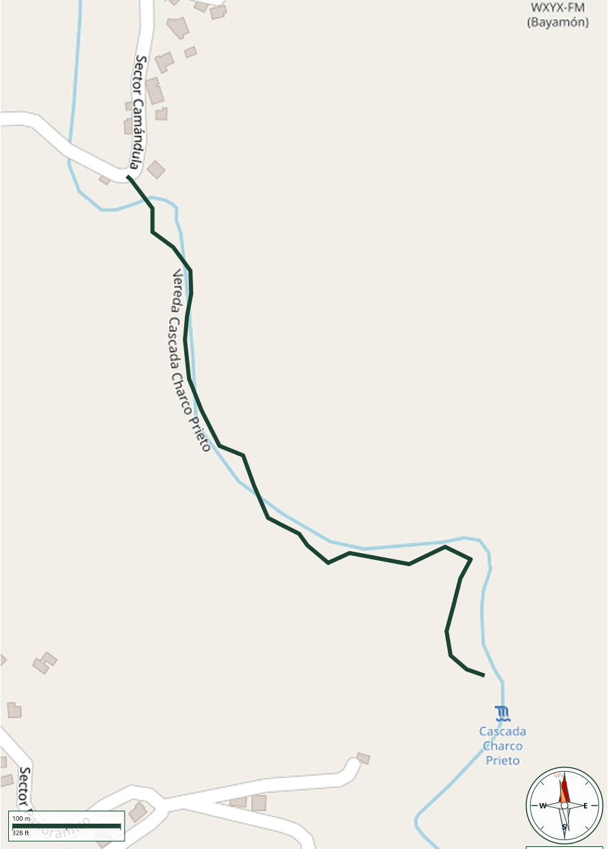
Bayamón
Safety Warning: Trail information comes from OpenStreetMap and may be incomplete or outdated. Verify conditions before heading out.
Find safety and preparation guides by the Council at: veredaspr.org/en/safety/
| Difficulty | Moderate | Distance | 0.7 km |
|---|---|---|---|
| Elevation gain | 65 m | Elevation loss | 0 m |
| Min elevation | 233 m | Max elevation | 298 m |
| Surface | — | Loop trail | No |
| Status | Unknown | Access | Public |
| Trailhead | 18.28786, -66.18756 | ||
A short, scenic trail in Bayamon that follows the river to the waterfall and natural pools. The route includes water crossings and rock scrambling, with sections that can be hard to follow. Wear shoes with solid traction, move carefully on wet or slippery rocks, and avoid visiting during rain or possible flash-flood conditions.
GPX track download available at: veredaspr.org/gpx/vereda-cascada-charco-prieto.gpx
VeredasPR is a free resource sponsored by the Puerto Rico Council of Scouting America to promote safe and responsible hiking.
Your contribution funds camp maintenance, youth outdoor programs, and community conservation projects across the island.