Trail information comes from OpenStreetMap and may be incomplete or outdated. Verify conditions before heading out. Safety tips →
Difficulty Hard
Distance 1.9 km
Elevation gain 161 m
Elevation loss 59 m
Loop trail No
Description
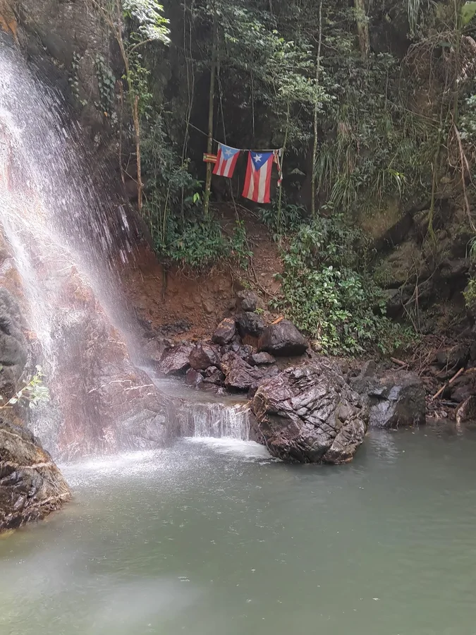
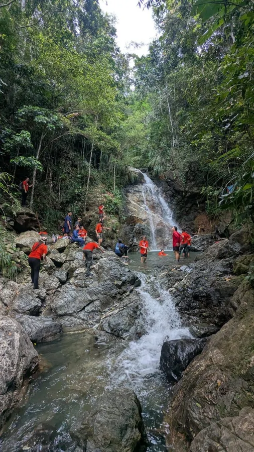
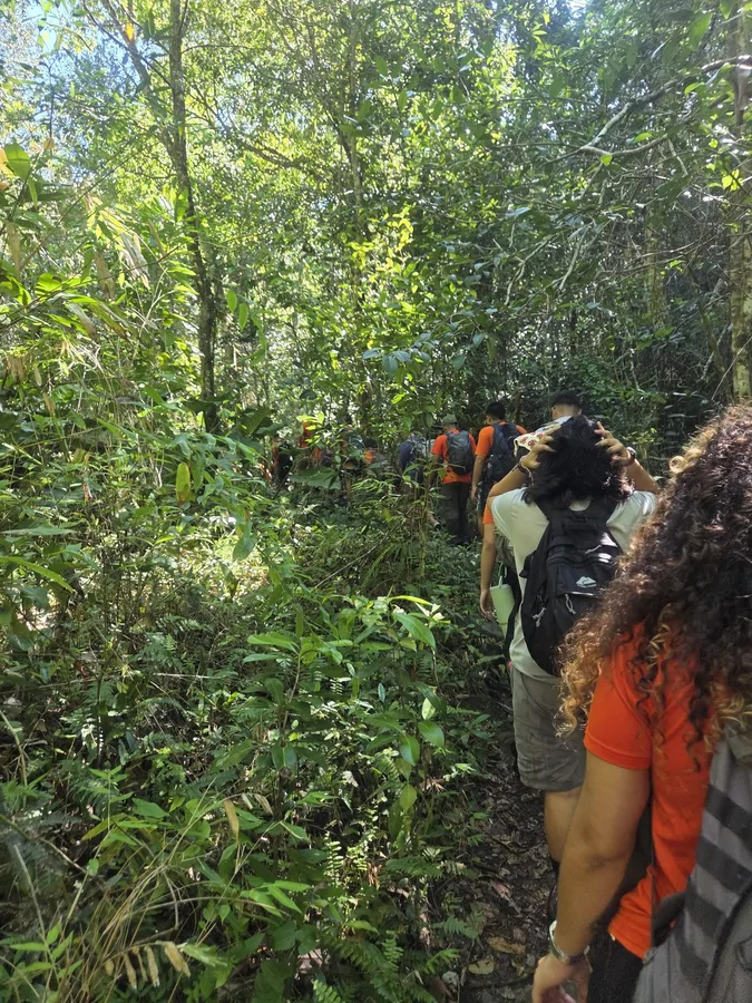
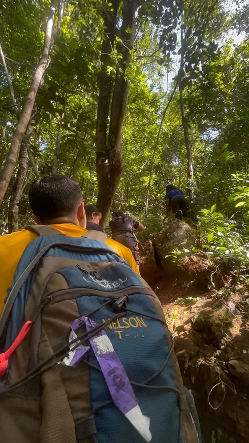
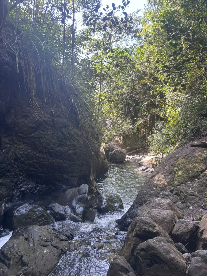
Vereda Charco El Pilón is a 1.08-mile (1.7 km) route in Maricao State Forest leading to a natural river pool. The terrain is difficult to navigate, with roots, rocks, and fallen trees, and the path crosses the river multiple times, so wet feet are practically unavoidable; footwear with good traction is recommended. Further upstream, past El Pilón, lies Charco La Iglesia, which is even harder to reach. Avoid the trail if there is a risk of flooding, as water levels at the crossings can rise quickly.
Map
Elevation profile
Photos




Nearby Trails
Last verified: Not yet verified by a maintainer
Source: OpenStreetMap · Last edited on OSM: July 29, 2026