Trail Map
Utuado
Safety Warning: Trail information comes from OpenStreetMap and may be incomplete or outdated. Verify conditions before heading out.
Find safety and preparation guides by the Council at: veredaspr.org/en/safety/
| Difficulty | Moderate | Distance | 0.1 km |
|---|---|---|---|
| Elevation gain | 0 m | Elevation loss | 6 m |
| Min elevation | 237 m | Max elevation | 243 m |
| Surface | — | Loop trail | No |
| Status | Unknown | Access | Public |
| Trailhead | 18.23349, -66.72161 | ||
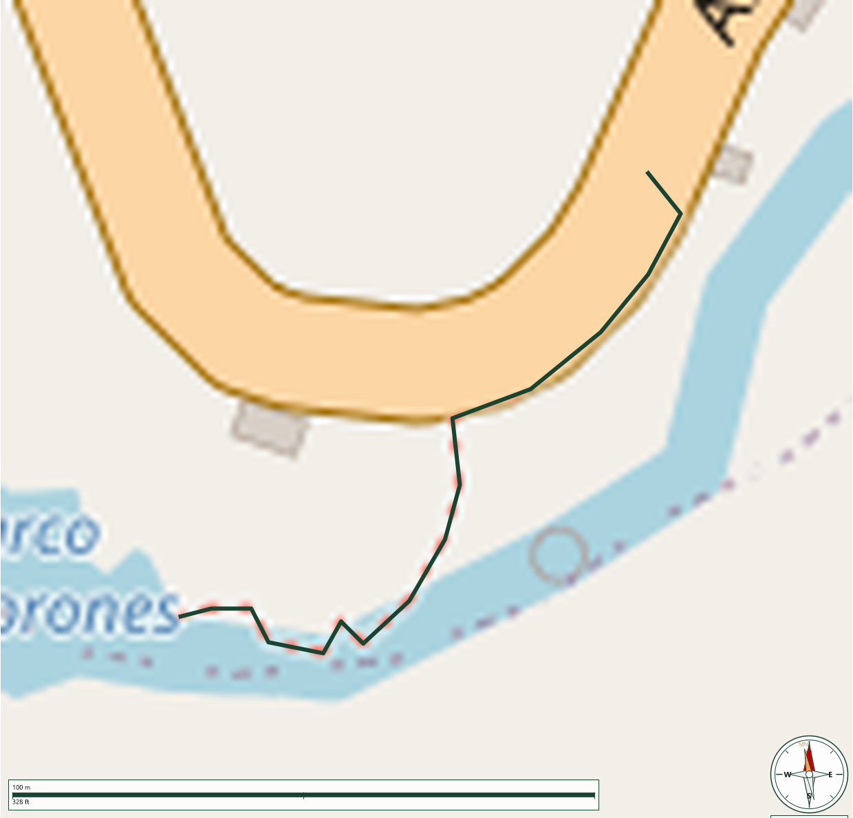
Located along the Río Pellejas in the mountainous municipality of Utuado, Charco Los Morones (also referred to as Salto Los Morones) is a natural river site utilized by hikers and outdoor enthusiasts. The approach requires a steep descent over a combination of natural dirt paths, slick boulders, and rock steps. At the base, the terrain opens into a riverbed characterized by large volcanic rock formations, natural swimming pools, and a waterfall flowing over a historic, decommissioned dam. Notably, the site contains pre-Columbian petroglyphs carved into the rock faces by the region's indigenous Taíno population. Hikers navigating the area should wear high-traction footwear or water shoes to manage the slippery, uneven surfaces, and exercise caution regarding deep water pockets, hidden whirlpools, and sudden changes in river currents.
GPX track download available at: veredaspr.org/gpx/vereda-charco-los-morones.gpx
VeredasPR is a free resource sponsored by the Puerto Rico Council of Scouting America to promote safe and responsible hiking.
Your contribution funds camp maintenance, youth outdoor programs, and community conservation projects across the island.