Trail Map
Orocovis
Safety Warning: Trail information comes from OpenStreetMap and may be incomplete or outdated. Verify conditions before heading out.
Find safety and preparation guides by the Council at: veredaspr.org/en/safety/
| Difficulty | Hard | Distance | 0.2 km |
|---|---|---|---|
| Elevation gain | 0 m | Elevation loss | 20 m |
| Min elevation | 954 m | Max elevation | 974 m |
| Surface | — | Loop trail | No |
| Status | Unknown | Access | Public |
| Trailhead | 18.19641, -66.46650 | ||
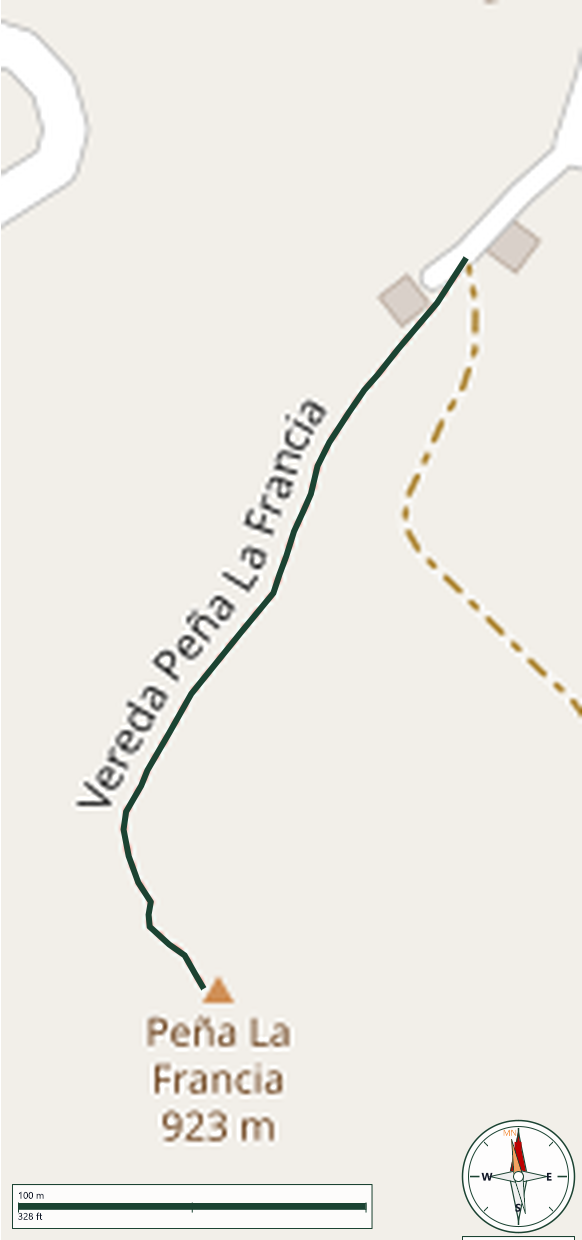
Peña de Francia, also known as Peñón La Francia, is a prominent geological formation situated in the central mountain range of Orocovis, Puerto Rico, rising to an elevation of approximately 981 meters (3,218 feet) above sea level. This short, out-and-back trail offers hikers and nature enthusiasts a direct route to a panoramic summit, beginning along a wide earthen path that cuts through local coffee and plantain fincas before narrowing into a distinct mountain vereda. The defining characteristic of this trek is its sustained, steep grade, which requires steady footwork over uneven terrain composed of loose dirt, gravel, and exposed rock. The summit of the formation opens up to unobstructed 360-degree views of the surrounding Cordillera Central and the neighboring Toro Negro State Forest. WARNING: The summit features dangerous cliffsides with significant drop-offs. Hikers must exercise extreme care near the edges, avoid approaching too close to the formation's edge.
GPX track download available at: veredaspr.org/gpx/vereda-pena-la-francia.gpx
VeredasPR is a free resource sponsored by the Puerto Rico Council of Scouting America to promote safe and responsible hiking.
Your contribution funds camp maintenance, youth outdoor programs, and community conservation projects across the island.