Trail Map
Utuado
Safety Warning: Trail information comes from OpenStreetMap and may be incomplete or outdated. Verify conditions before heading out.
Find safety and preparation guides by the Council at: veredaspr.org/en/safety/
| Difficulty | Moderate | Distance | 0.8 km |
|---|---|---|---|
| Elevation gain | 47 m | Elevation loss | 2 m |
| Min elevation | 402 m | Max elevation | 447 m |
| Surface | — | Loop trail | No |
| Status | Unknown | Access | Public |
| Trailhead | 18.27756, -66.59512 | ||
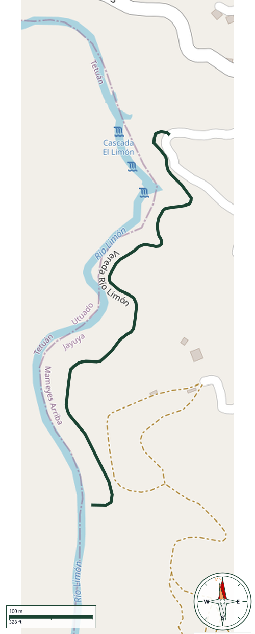
Short trail of about 775 meters one-way descending to the Salto del Río Limón, on the border of Utuado and Jayuya. The path is narrow, with dirt sections that can be slippery or muddy after rain, and some stretches with a steep drop-off to one side, so footwear with good traction is recommended. The trail ends at an emerald-colored pool fed by a waterfall roughly 8 to 9 meters (25 to 30 feet) tall, surrounded by dense vegetation. The route crosses private property along part of its length, so hikers should stay on the marked path and pack out all trash. The river can rise quickly during or after heavy rain in the surrounding mountains, even if it isn't raining at the access point, so checking the forecast beforehand is advisable.
GPX track download available at: veredaspr.org/gpx/vereda-rio-limon.gpx
VeredasPR is a free resource sponsored by the Puerto Rico Council of Scouting America to promote safe and responsible hiking.
Your contribution funds camp maintenance, youth outdoor programs, and community conservation projects across the island.