Trail Map
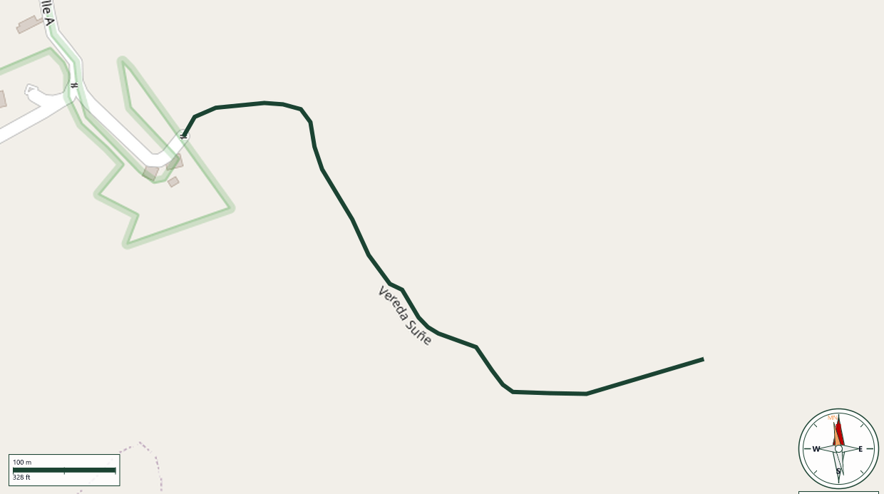
San Cristóbal Canyon Protected Natural Area · Barranquitas
Safety Warning: Trail information comes from OpenStreetMap and may be incomplete or outdated. Verify conditions before heading out.
Find safety and preparation guides by the Council at: veredaspr.org/en/safety/
| Difficulty | Moderate | Distance | 0.8 km |
|---|---|---|---|
| Elevation gain | 39 m | Elevation loss | 90 m |
| Min elevation | 532 m | Max elevation | 587 m |
| Surface | — | Loop trail | No |
| Status | Unknown | Access | Public |
| Trailhead | 18.17562, -66.28972 | ||
Mountain ridge trail inside the San Cristóbal Canyon Protected Natural Area, which spans the municipalities of Barranquitas and Aibonito and is managed by Para La Naturaleza. The trail starts at the El Portón community, follows the canyon rim through native trees, fruit trees, and wildflowers, and ends at a shaded rest area with cool temperatures and panoramic views toward Comerío, Naranjito, and Cayey, with the Usabón, Piñonas, and Aibonito rivers visible below. The area is home to birds and plants endemic to Puerto Rico.The route covers approximately 1.35 km and is rated easy. Parking is available at the former Club de Leones and at the visitor center. Admission is free; donations are welcome. Campfires, alcohol, music, camping, off-road vehicles, plant removal, littering, and smoking are prohibited.
GPX track download available at: veredaspr.org/gpx/vereda-sune.gpx
VeredasPR is a free resource sponsored by the Puerto Rico Council of Scouting America to promote safe and responsible hiking.
Your contribution funds camp maintenance, youth outdoor programs, and community conservation projects across the island.